A Tour around the Cradley Parish Boundary noting landmarks shown on the O/S map as being just within the border
Where the boundary follows or crosses a road this is marked in italics. Right click to see the pictures.
Starting in the North on border with Longley Green
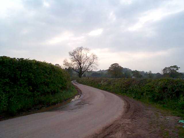
Primrose Hill east to Birchwood/Longley Green road
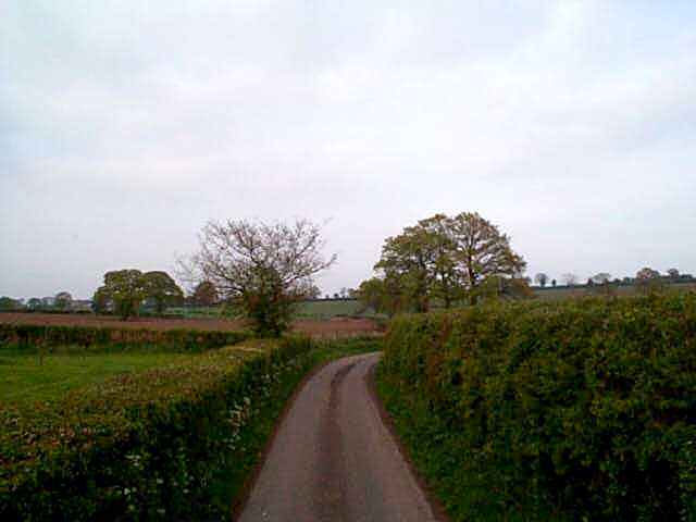
Turning East passing to North of
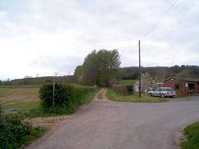
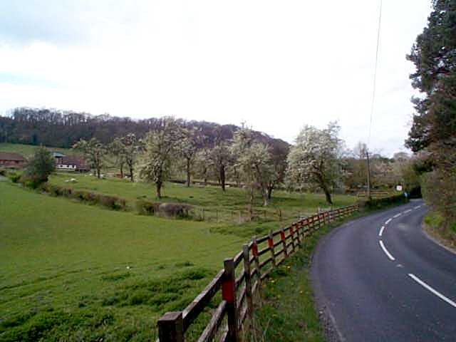
Birchwood Hall
Norrest Wood
Turning South to
New Inn
on main Worcester Hereford road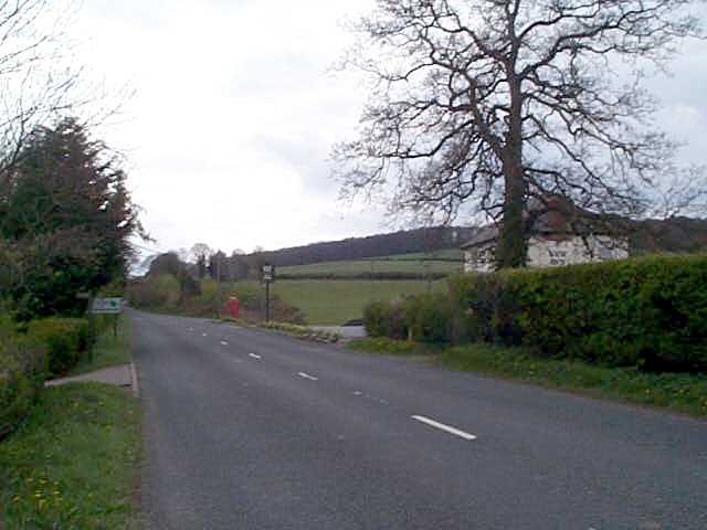
Crumpton Hill
Turning South West up
Whippetts Brook past
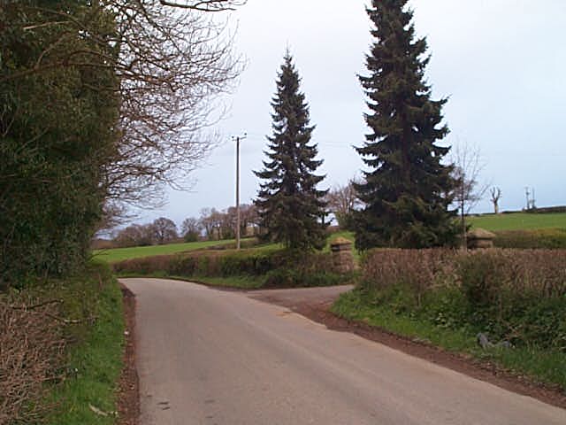
Cowleigh Gate Farm
Turning South to
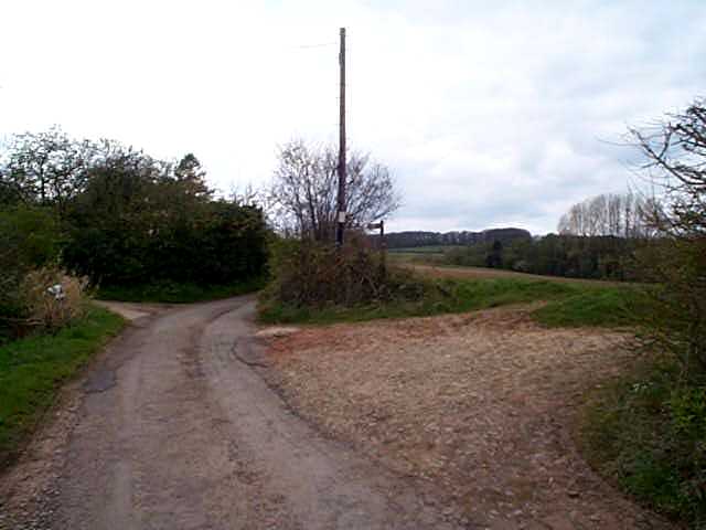
Jacobs Ladder Path
following it West throughHighGrove Wood (part of Netherley estate) Passed
Netherley Farm Buildings
(Netherley Hall being in Mathon)Continuing West passed
Heath Mill
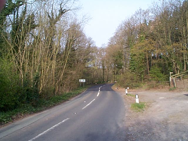
crossing the Cradley Brook and road to Mathon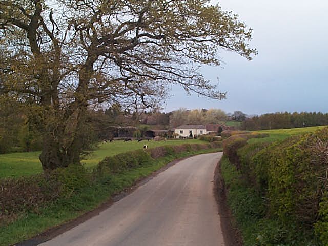
Tudor Oaks
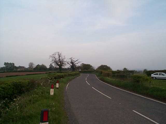
on the road to Bosbury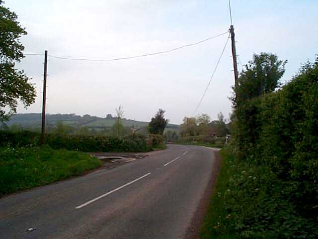
Merryfields
and up hill toPitlock Farm
Whitehouse Farm
Home House Farm
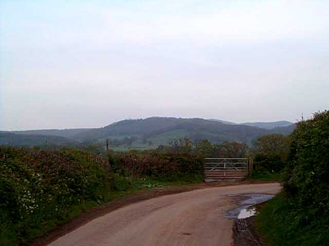
Hill Farm
Dropping to the river Leadon in far SW corner
Turning North along the river passed
Colliers Bridge
Steen Bridge
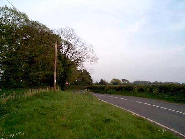
on the main road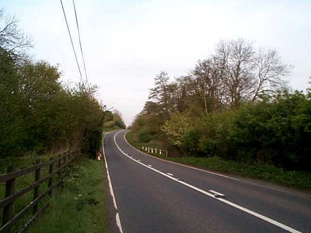
Turning East leaving to the South:-
Cradley Hall Farm
Seed Farm
Sommerville House
on road to BromyardTurning North
Hmmm, I must get myself Pathfinder 995, the boundary is most odd here!
Broom Coppice
Pimple Hill
Baring East just south of Acton Mill
down road leading to Green Lane to
Upper Barrow Farm
Continuing East to
Winthill Farm on Suckley road
Barrow Mill on Cradley Brook
Mosewich Farm
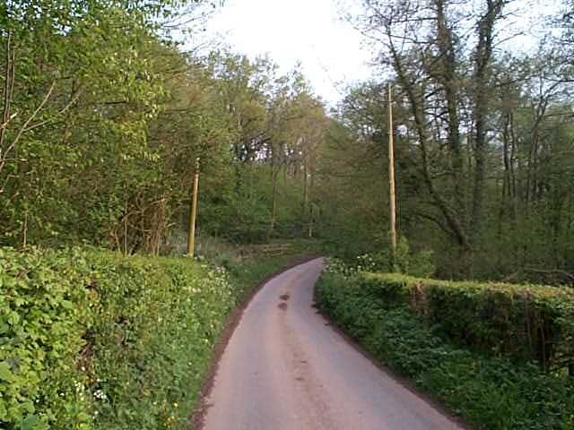
Follow road from Longley Green east through the cutting
Finally rising back to Primrose Hill.